48 hr
Mount Rinjani Summit Trek: 2-Day Adventure
- Expert local guide
- Small group
- Skip-the-line access
- Free cancellation
Mount Rinjani Trekking Tour — Summit Expeditions & Crater Lake Routes
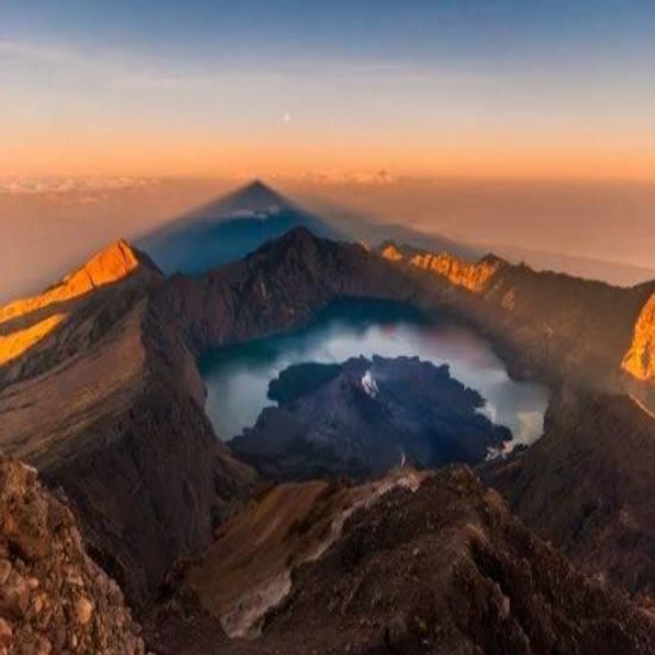
Indonesia's second-highest volcano, where dawn breaks over Segara Anak's turquoise crater
Compare fares, pick the fit — all bookings are mobile-voucher and eligible for free cancellation where shown.
48 hr
48 hr
48 hr
Choosing the right mount rinjani trekking tour comes down to duration, route, and whether summit and crater lake access matter to you. First-timers typically weigh a shorter crater rim trek against multi-day summit itineraries via Sembalun or Torean before booking.
| 1-Day Crater Rim Senaru side, no summit |
Top pick 2-Day Summit Trek Sembalun route, sunrise summit |
3-Day Sembalun-Torean Summit, crater lake and hot springs | |
|---|---|---|---|
| Duration | 1 day | 2 days, 1 night | 3 days, 2 nights |
| Route | Senaru crater rim viewpoint | Sembalun to summit and return | Sembalun in, Torean out via lake |
| Summit attempt | — | ✓ 3,726 m, sunrise push | ✓ 3,726 m, sunrise push |
| Crater lake access | — | — | ✓ Segara Anak lake |
| Hot springs access | — | — | ✓ Torean hot springs |
| Meals included | Packed lunch only | ✓ all trek meals | ✓ all trek meals |
| Fitness level required | Moderate, day-hike level | High, steep summit night climb | Very high, multi-day endurance |
| Best for | First-timers wanting a taste of Rinjani | Visitors wanting summit views on a tight schedule | Trekkers wanting lake, springs and summit together |
| See tickets & prices |
Verdict: Pick the 2-day summit trek if sunrise views are the priority within limited time, but choose the 3-day Sembalun-Torean route if seeing Segara Anak crater lake and the hot springs matters as much as reaching the summit.
Worth it for fit hikers seeking a summit challenge
A mount rinjani trekking tour demands serious preparation—2-day routes climb 3,726 meters to the summit for sunrise views over Lombok and Bali, while 3-day itineraries add the turquoise crater lake and natural hot springs at Segara Anak. The 150,000 IDR conservation fee per person per day covers park access, but the real cost sits in multi-day packages that bundle porters, tents, meals, and guides required by park regulations. The payoff centers on volcanic landscapes few Indonesian peaks match: dawn from the summit cone, the jade-green caldera lake ringed by fumaroles, and hot spring soaks after steep descents. Mount Rinjani tours are worth the effort for experienced trekkers comfortable with 8–10 hour hiking days, altitude gain above 2,600 meters, and basic mountain camping. Casual hikers or families with young children should skip the summit push—the 1-day crater rim trek from Senaru offers lake views without the brutal summit ascent. The physical demand is real; the scenery justifies it only if you're prepared for the challenge.
Bottom line: Mount Rinjani trekking tour tickets pay off for those ready to earn one of Indonesia's most dramatic summit views through sustained physical effort.
Most travelers deciding between an Indonesia volcano trekking tour and a quick sunrise viewpoint pick Rinjani for the multi-day summit challenge and Bromo for an easy, low-effort caldera view — they answer different trip goals rather than compete head-to-head.
|
Top pick Mount Rinjani |
Mount Bromo | |
|---|---|---|
| What you see | Volcanic crater lake, summit crater rim | Smoking caldera, sea of sand |
| How you get there | On-foot trek from Senaru or Sembalun | Jeep to viewpoint, short walk to crater |
| Physical intensity | High — multi-day summit climb | Low — mostly vehicle-based, short walk |
| Typical duration | 2-4 days | 4-6 hours (sunrise tour) |
| Entrance fee | 150,000 IDR per person per day | Comparable park fee, lower overall cost |
| Who it suits | Experienced hikers, multi-day trekkers | Families, first-time visitors, day-trippers |
| Booking constraints | Permit and registration required at trailhead | Jeep booking via local operator, no permit hike |
| Best time of day | 07:00-09:00 registration before departure | Pre-dawn departure for sunrise viewpoint |
| See tickets & prices |
Verdict: Choose Rinjani for a demanding multi-day summit trek with a crater lake reward, and Bromo for a short, low-effort sunrise viewpoint experience.
Hand-picked experiences loved by thousands of travelers
3 days
Free Cancellation
Conquer Indonesia's second-highest volcano on this challenging 3-day expedition through savannas to the summit.
3 days
Free Cancellation
Conquer Indonesia's second-highest volcano on this challenging three-day adventure to the summit, crater lake, and natural hot springs
1 day
Free Cancellation
Summit Senaru Crater Rim in a single day for sweeping views of the volcano, lake, and distant islands
3 days
Free Cancellation
Climb Indonesia's second-highest volcano, camp by a crater lake, and soak in hot springs on this epic adventure
2 days
Free Cancellation
Conquer Lombok's highest peak on a challenging two-day climbing expedition with crater rim camping
3 days
Free Cancellation
Conquer Indonesia's second-highest volcano on this challenging 3-day adventure through savannas and rainforest
3 days
Free Cancellation
Conquer Indonesia's iconic volcano with private or shared group options, camping at scenic crater rims
2 days
Free Cancellation
Conquer Indonesia's second-highest peak on this challenging two-day climbing expedition with camping.
All the details about your upcoming adventure in one place
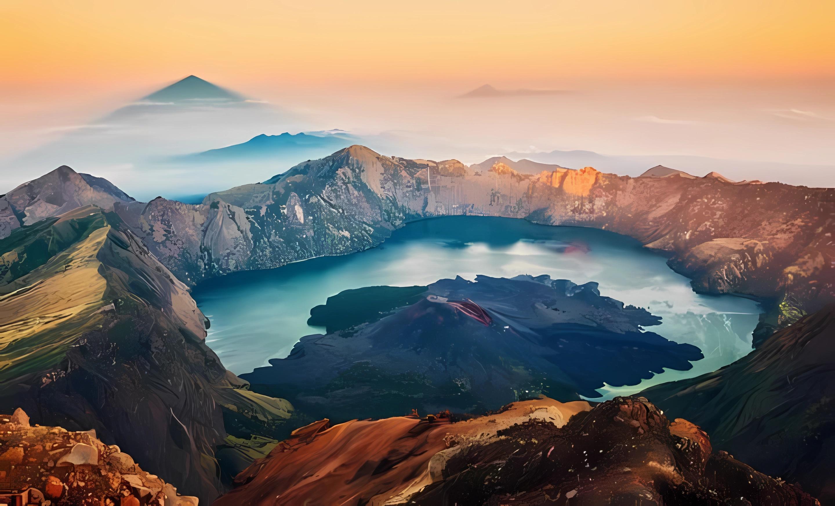
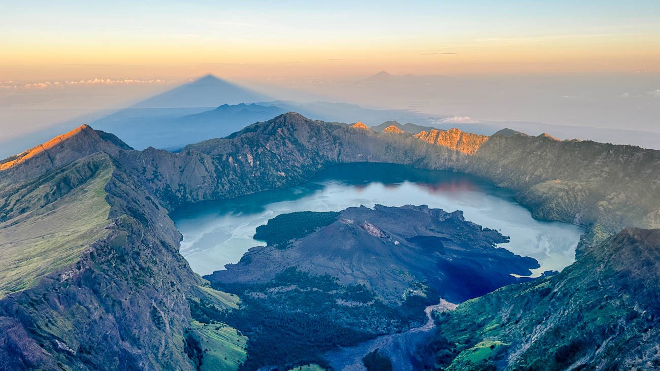
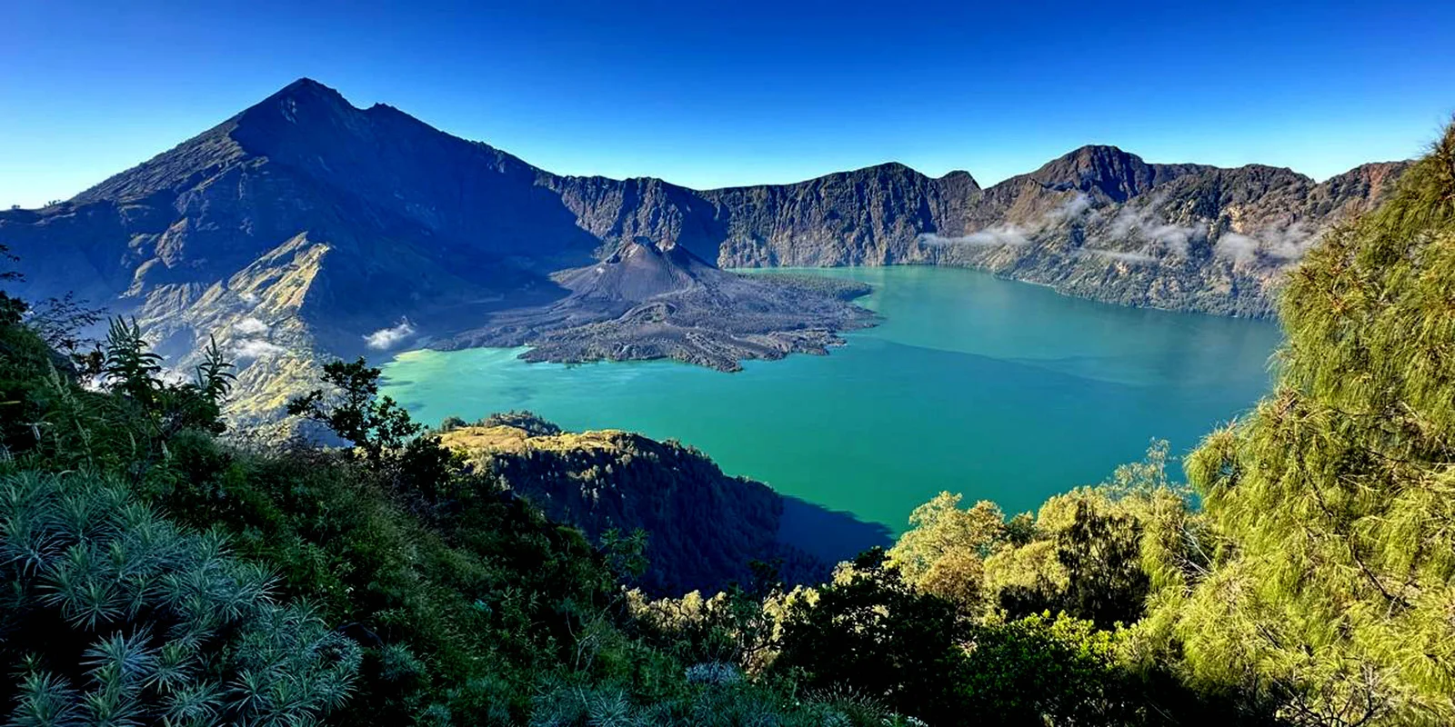
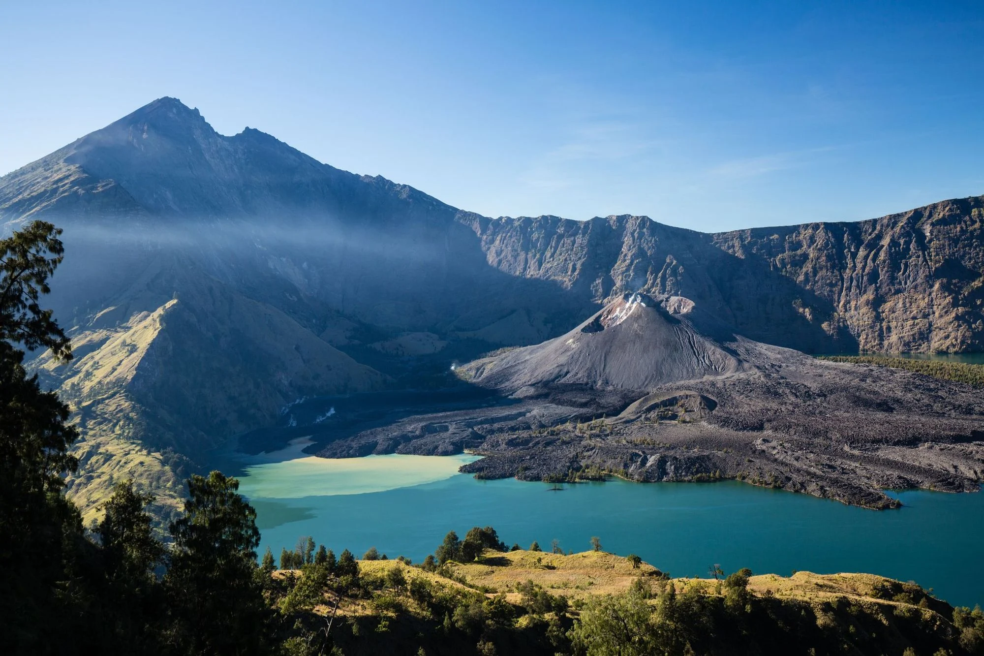
Mount Rinjani stands 3,726 metres above Lombok's northern coast, its caldera holding Segara Anak — a crescent lake formed after a volcanic collapse 13,000 years ago.
The Sasak people call the volcano Gunung Rinjani, naming it after the Sanskrit word for the sacred mountain Meru, and still conduct ritual offerings at its crater rim. Established as a national park in 1997, the 41,330-hectare reserve protects one of Indonesia's most active volcanic systems, with the young cone Gunung Barujari rising from the lake's southern shore and erupting as recently as 2016.
A mount rinjani trekking tour draws 15,000 climbers annually, most attempting the summit between April and December when monsoon rains subside. The ascent begins at Senaru or Sembalun villages, both sitting at 600 metres elevation. The Sembalun route climbs through open grassland before entering montane forest at 2,000 metres, where edelweiss blooms in silver clusters and black ebony langurs move through the canopy. The Senaru trail follows a steeper gradient through dense rainforest, crossing streams that feed into waterfalls visible from the approach road. Both routes converge at Pelawangan crater rim camps — Sembalun at 2,639 metres, Senaru at 2,641 metres — where trekkers spend the night before the pre-dawn summit push.
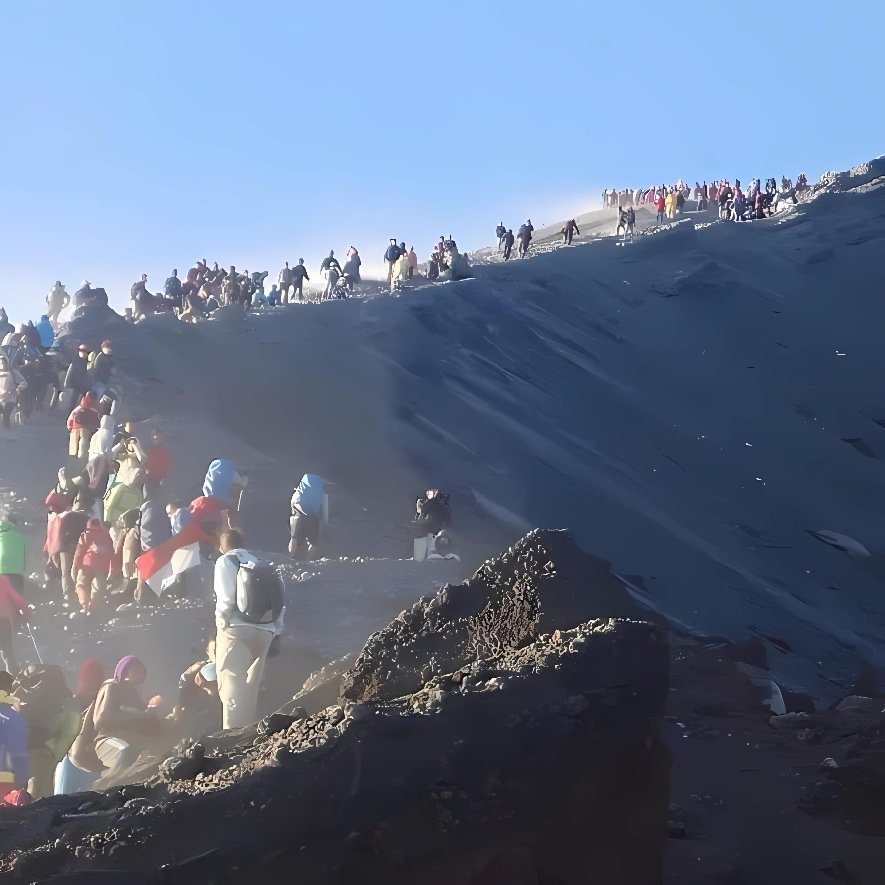
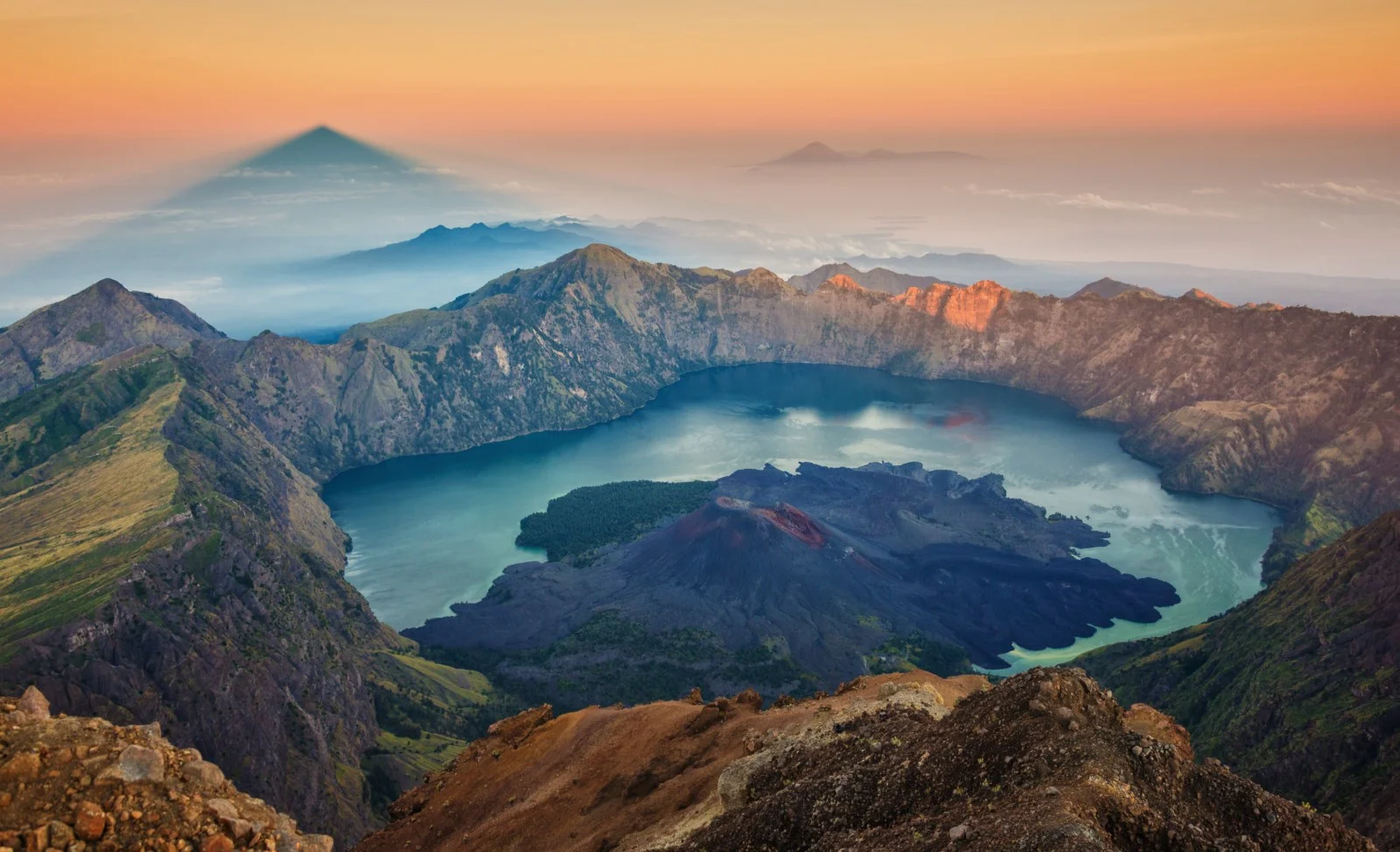
The final ascent covers 1,087 vertical metres across loose volcanic scree, with no established trail beyond the ridgeline. Summit attempts begin at 02:00 to reach the peak by sunrise, when clear skies reveal views extending to Mount Agung on Bali 130 kilometres west and Sumbawa's ridges 60 kilometres east. The crater lake, 600 metres below the rim, maintains a constant temperature of 20-22 degrees Celsius due to geothermal vents, and its shoreline hot springs remain accessible via a steep descent path requiring an additional two hours.
Mount rinjani trekking tour permits, regulated by Rinjani Trek Management Board since 2015, require all climbers to register at Senaru or Sembalun checkpoints between 07:00 and 17:00. The 150,000 IDR daily conservation fee supports trail maintenance and porter welfare programs. Park regulations mandate certified guides for all summit attempts and enforce a maximum group size of ten climbers per guide. The mountain closes entirely during January through March due to landslide risk on saturated trails.
The Sasak people call the volcano Gunung Rinjani, naming it after the Sanskrit word for the sacred mountain Meru.
Most mount rinjani trekking tour bookings allow free rescheduling up to 48–72 hours before departure, though this varies by operator. The Rinjani National Park conservation fee of 150,000 IDR per person per day is non-refundable once a permit has been issued, since it is paid directly to the park authority.
Weather · crowds · average price — dots go green to amber to red as each metric rises.
Trails reopen after the seasonal monsoon closure and vegetation is green with fewer trekkers than peak months. Daytime temperatures at lower elevations sit around 25–28°C.
Permits for a mount rinjani trekking tour should be arranged at least a few days ahead during July and August when porter and guide availability runs tight.
Mount Rinjani's geological story began roughly 6,500 years ago when a massive caldera-forming eruption reshaped Lombok's northern landscape. The collapse left behind Segara Anak, a crescent lake cradled at 2,000 meters elevation, and the active Barujari cone that continues to reshape the crater floor. The Sasak people, Lombok's indigenous inhabitants, have considered Rinjani sacred for centuries, calling it Samalas—the mountain of the gods. Balinese Hindus revere the peak as one of their cardinal directional mountains, second only to Mount Agung in spiritual significance. Annual full-moon pilgrimages bring devotees to Segara Anak's shores, where offerings are cast into the waters believed to hold healing properties. Historical records document a catastrophic 1257 eruption that produced one of the most powerful volcanic events of the past millennium, ejecting an estimated 40 cubic kilometers of material and causing global climate disruption. Barujari's more recent eruptions in 1994, 2004, and 2009 temporarily closed trekking routes and reshaped the crater landscape. The Indonesian government established Gunung Rinjani National Park in 1997, covering 41,330 hectares of montane forest, savanna, and alpine zones. Conservation efforts formalized the mount rinjani trekking tour infrastructure that had evolved informally since the 1980s, when adventurous travelers first began hiring Senaru village guides. By 2004, the park authority implemented a mandatory porter and guide system, balancing tourism revenue with trail preservation and visitor safety. The Rinjani Trek Management Board, formed through a partnership between local communities and conservation agencies, standardized permit fees and established the 150,000 IDR daily conservation charge. Trekking infrastructure expanded significantly after 2010, with permanent camping platforms built at Sembalun Crater Rim and Senaru Crater Rim to reduce environmental impact. The 2018 Lombok earthquake damaged several trail sections and triggered temporary closures, prompting engineering assessments and rerouting of vulnerable segments. Today, mount rinjani trekking tour routes operate under strict capacity limits, with summit attempts restricted to pre-dawn departures from crater rim camps to manage congestion and ensure climbers descend before afternoon weather deteriorates.
Caldera-forming eruption creates Segara Anak lake and establishes Rinjani's current volcanic structure
Samalas eruption ejects 40 cubic kilometers of material, causing global temperature drops and crop failures
First organized trekking routes open from Senaru village, guided by local Sasak communities
Barujari cone eruptions temporarily close trails and reshape the crater floor landscape
Gunung Rinjani National Park officially designated, covering 41,330 hectares of protected montane ecosystems
Mandatory guide and porter system implemented by Rinjani Trek Management Board
Lombok earthquake damages trail infrastructure, prompting engineering assessments and segment rerouting
Capacity limits and conservation protocols enforced to balance tourism growth with ecological preservation
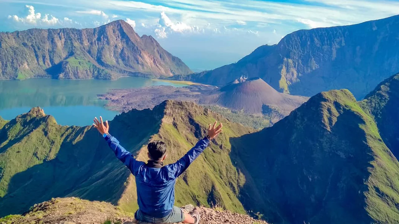
The trail across Sembalun ridge gives an open shot of Rinjani's crater rim with the grassy savanna sweeping below, a classic frame from any mount rinjani trekking tour. Stand on the ridge path before the tree line for an unobstructed angle over the valley.
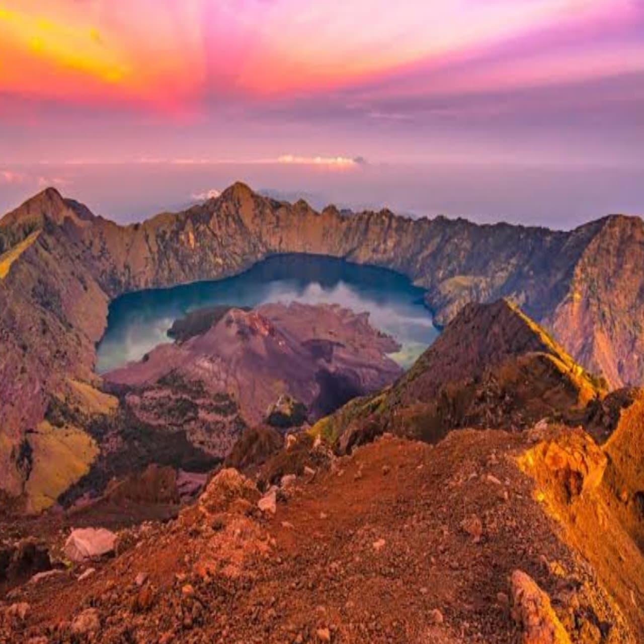
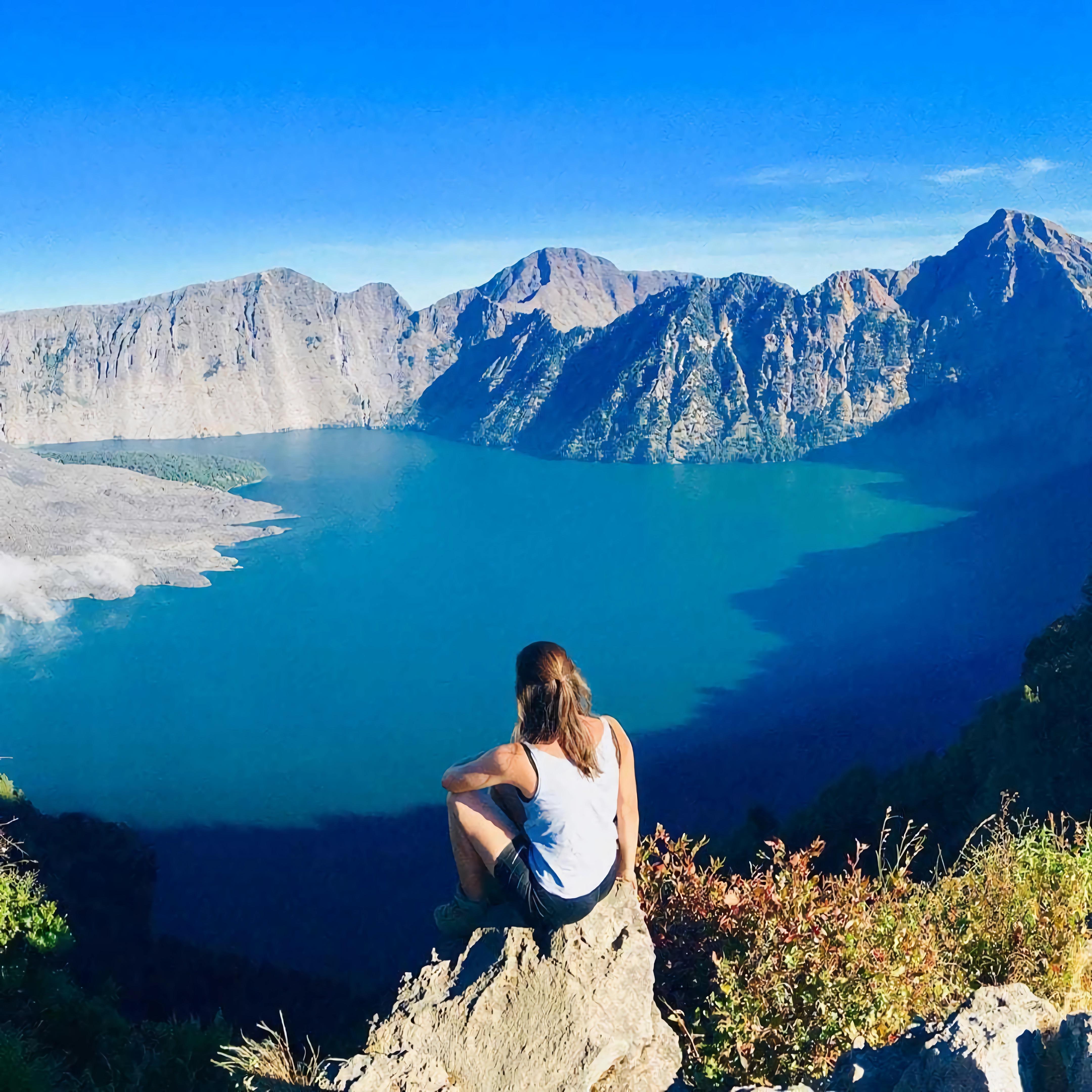
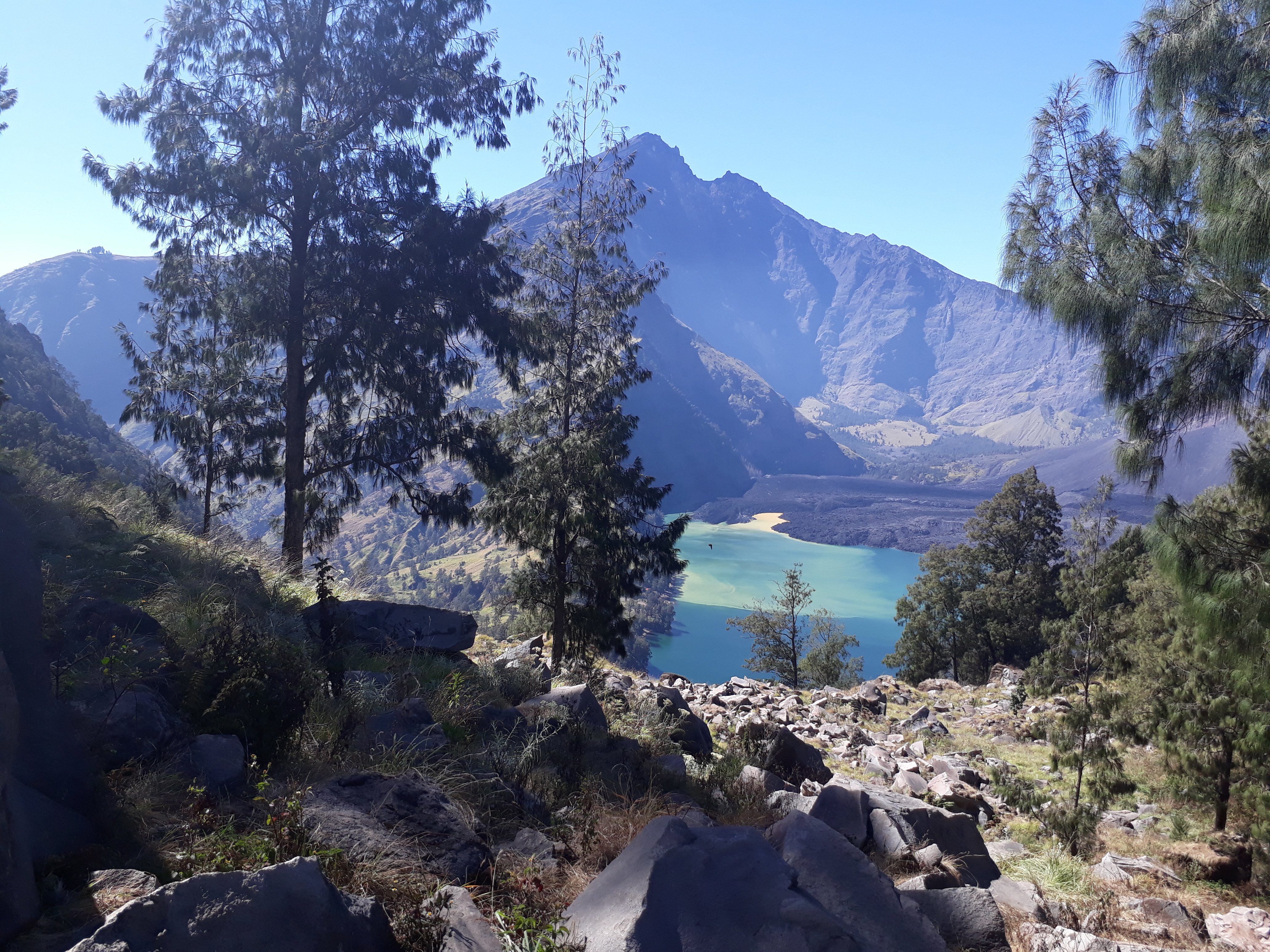
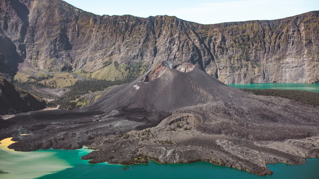
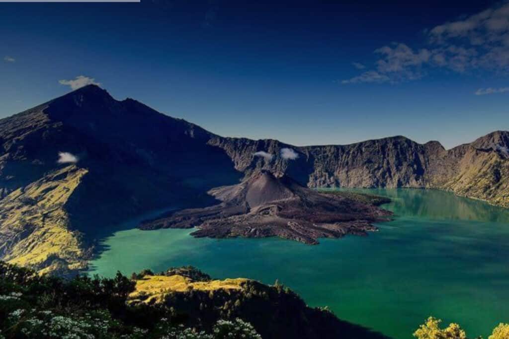
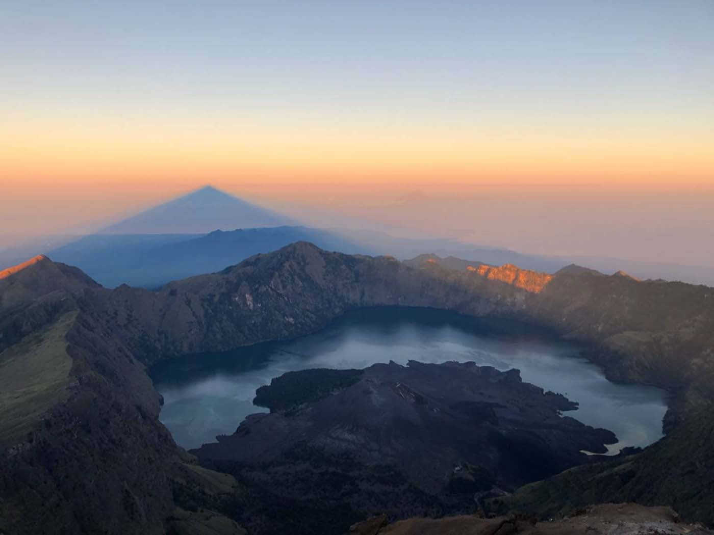
From the crater edge above Segara Anak, the turquoise caldera lake sits framed against Gunung Baru Jari's cone. The viewpoint near the descent trail from Senaru or Sembalun rim offers the widest angle, though the path down is steep and loose underfoot.
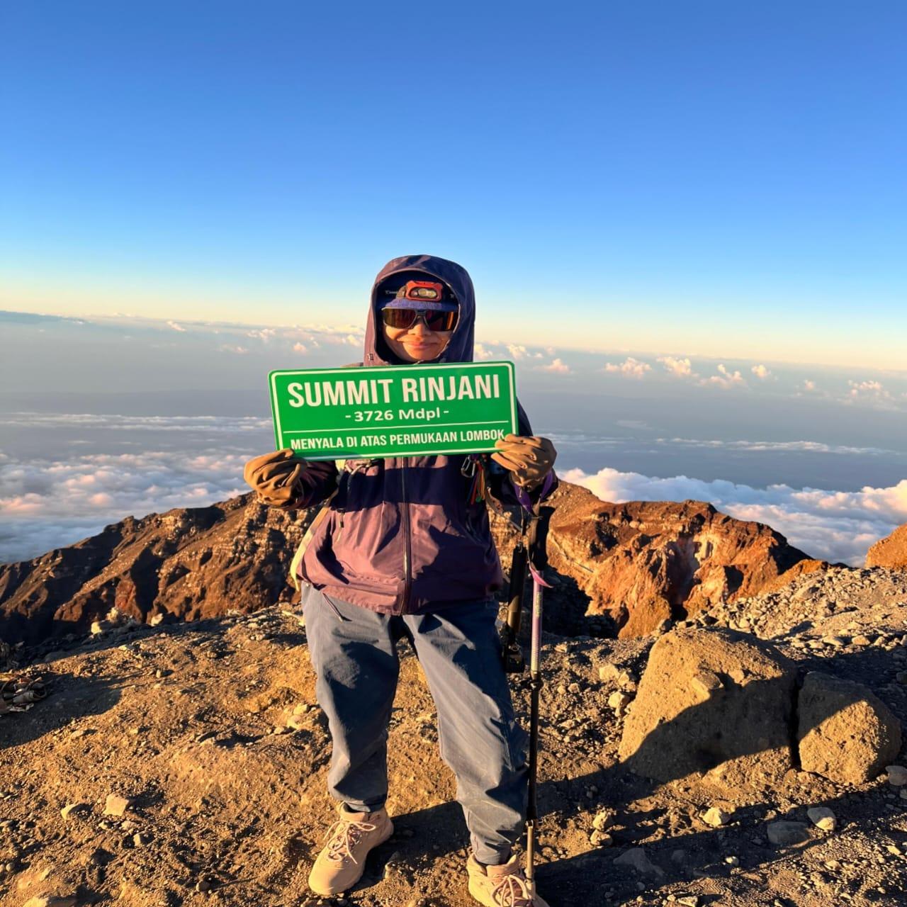
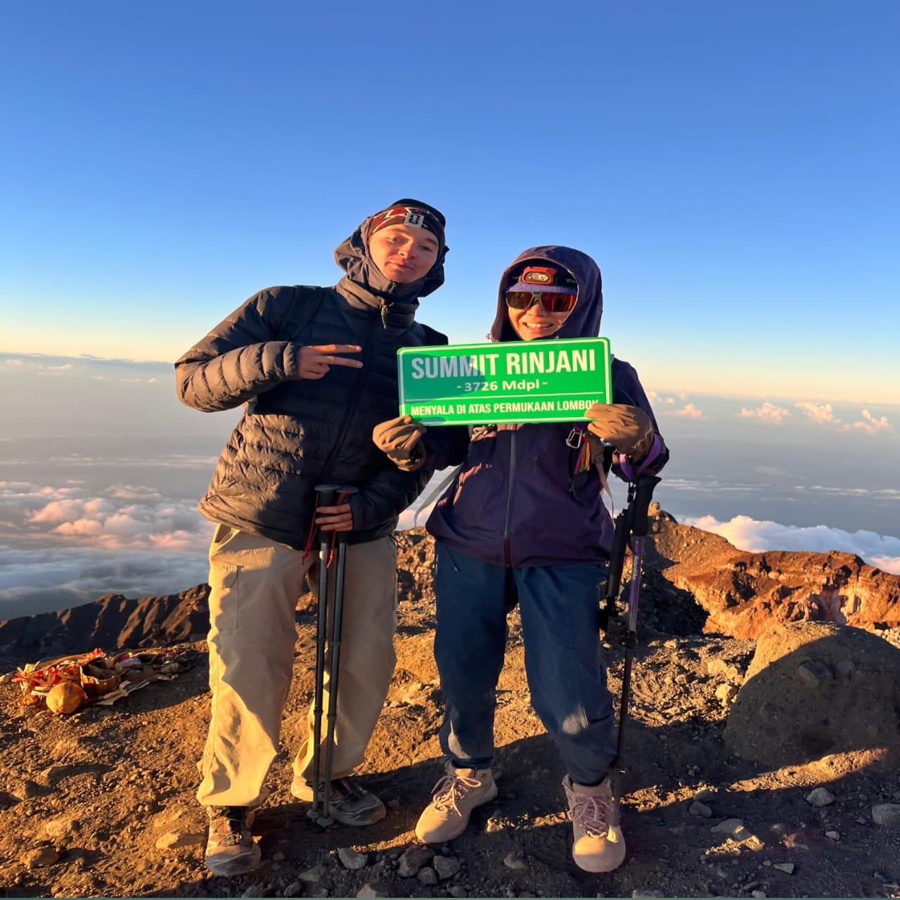
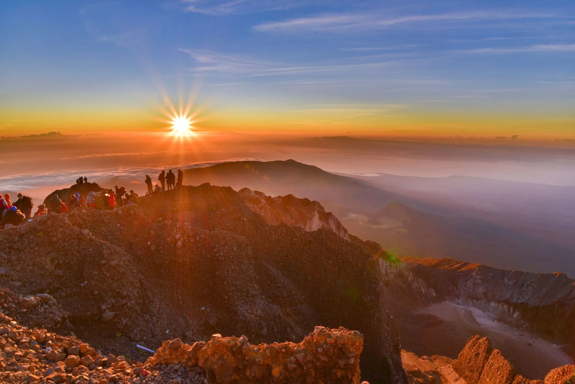
The peak itself is the summit sunrise point, where trekkers gather before dawn for the shot of shadow falling across Lombok and Sumbawa as the sun clears the horizon. Space is tight near the final push, so arrive early to secure a stable footing.
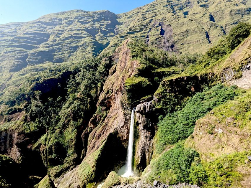
Torean waterfall drops through a narrow gorge on the lesser-used Torean route, framed by dense forest and volcanic rock walls. The viewing ledge near the river crossing gives the clearest angle, but the trail down is slippery after rain.
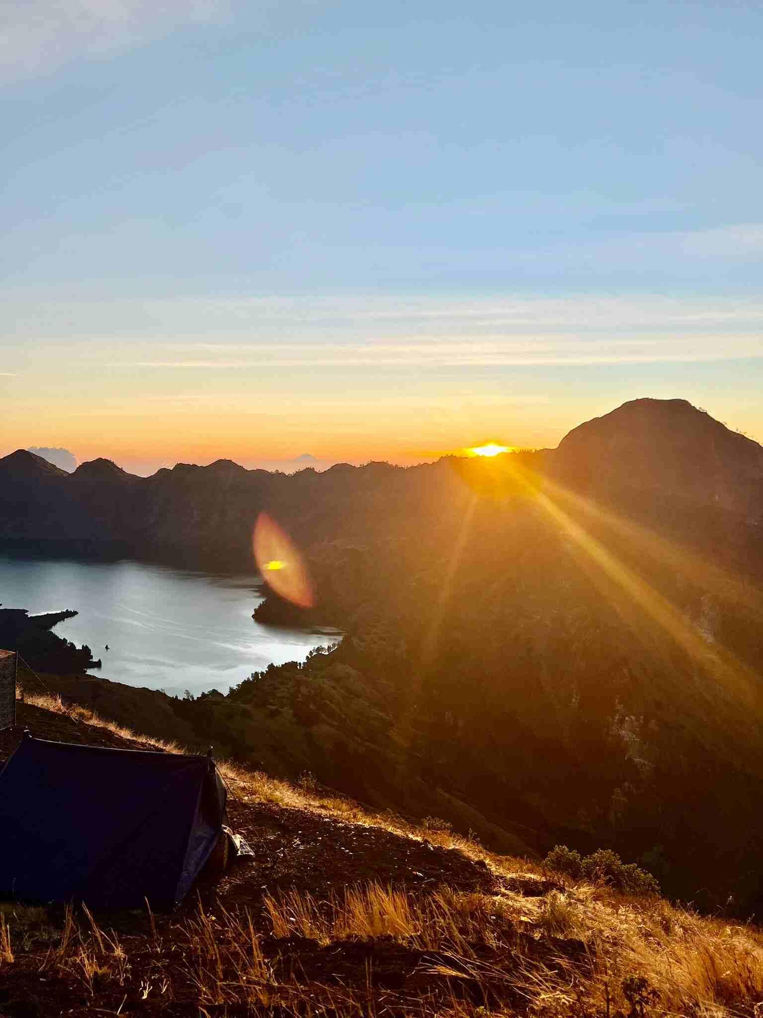
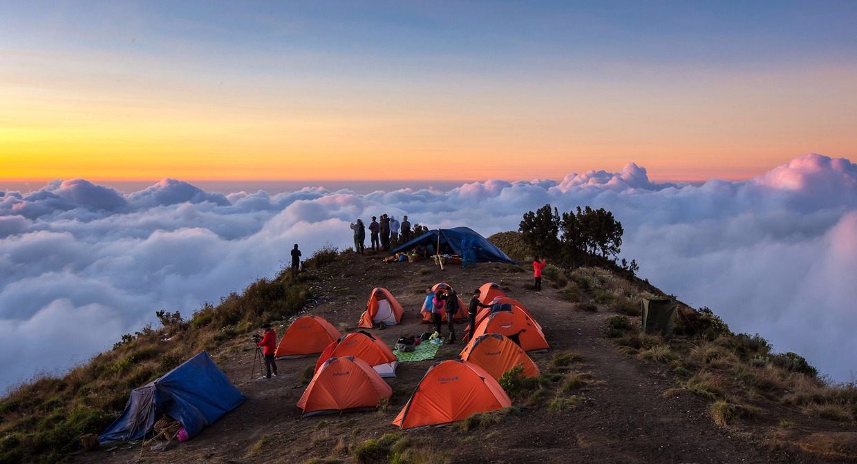
This ridge campsite above Sembalun crater doubles as a photo perch, with tents visible against the crater wall and Segara Anak glimpsed beyond. It sits along the standard route corridor, so foot traffic is heavy at dusk and dawn.
A mount rinjani trekking tour is a serious multi-day mountain trek, not a family day out, and it's genuinely unsuitable for young children or casual walkers. Families with older, fit teens can take it on, but this is a rugged volcano climb with steep, unpaved trails and cold, high-altitude camping.
No stroller access whatsoever — the terrain is volcanic scree, forest roots and steep ridgelines, much of it unpassable even on foot without trekking poles and sturdy boots.
Porters and guides generally expect trekkers to be at least 12-15 years old with prior hiking experience; younger kids lack the stamina and cold tolerance needed for the overnight summit push.
There are no baby-change or dedicated family facilities on the mountain — toilets are basic long-drop setups at campsites, so pack wipes, hand sanitizer and any medication your teen may need.
This rinjani trekking tour tour runs over multiple days with early starts and long trail hours, so build in rest breaks and treat it as an endurance trip rather than a sightseeing one.
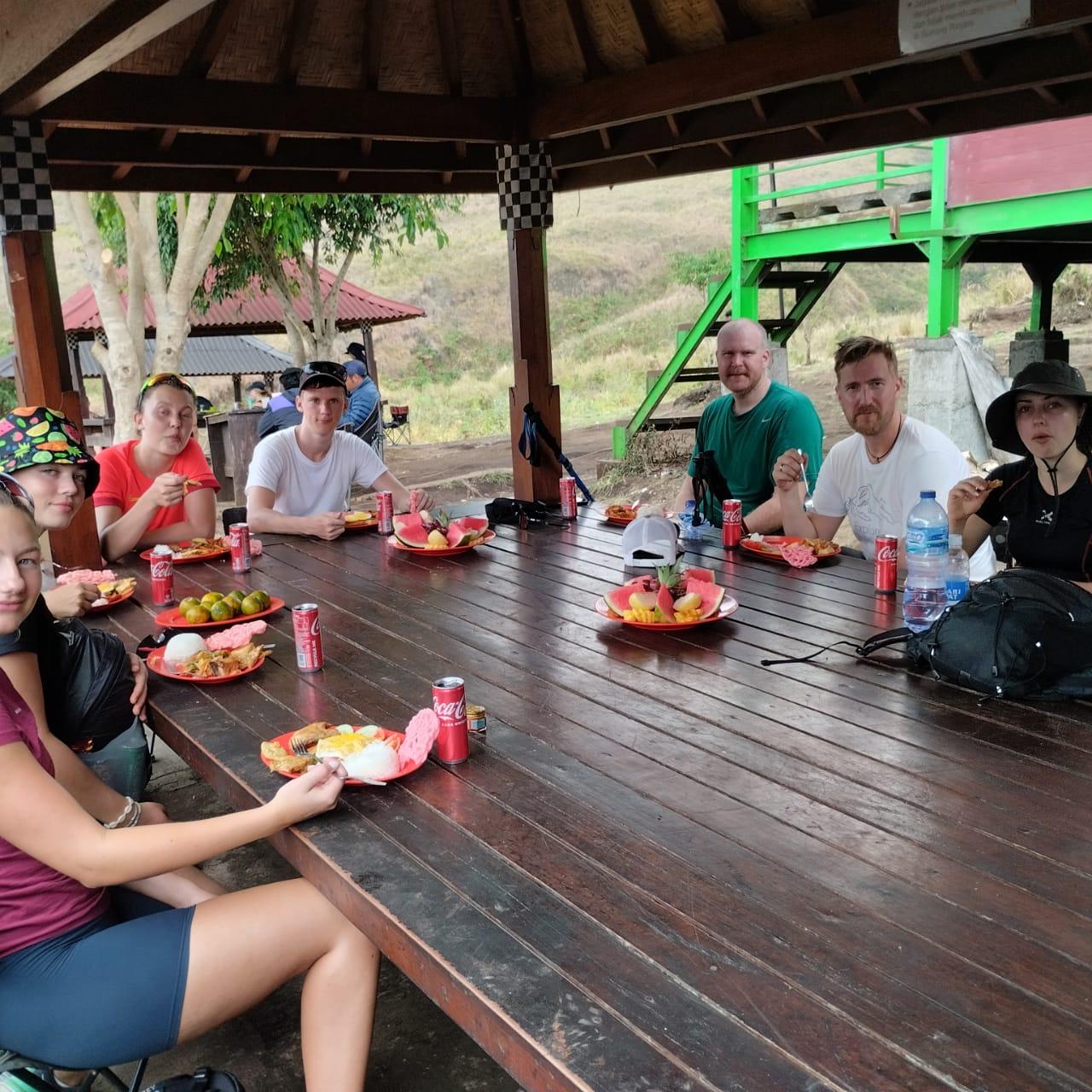
Meals are prepared by trek crews at camp and are simple, carb-heavy fare; flag any allergies or picky eating habits with your operator before booking so the crew can plan portions.
Everything you need to know for your journey
Mount Rinjani National Park has no paved paths or accessible facilities, and the volcanic terrain makes the trek unsuitable for wheelchair users or visitors with limited mobility.
Prohibited items include single-use plastic bags, glass bottles, drones without a permit, fireworks, firearms, and any open flames outside designated cooking areas.
Personal cameras and smartphones are allowed freely on the trail, but drones require a separate permit filed with park authorities before the mount rinjani trekking tour begins.
September and October offer stable dry weather with fewer crowds than July and August, making this shoulder season a strong window for a mount rinjani trekking tour tour.
Layered clothing is essential, since temperatures range from tropical warmth at the trailhead to near-freezing conditions at the 3,726 m summit during the pre-dawn climb.
Yes, trekkers can carry their own snacks and water, but all wrappers and waste must be packed out under the park's strict no-litter rule.
Rescheduling is typically allowed 48–72 hours before departure depending on the operator, though the 150,000 IDR per person per day conservation fee is non-refundable once a permit is issued.
Sendang Gile and Tiu Kelep waterfalls near Senaru village make popular add-ons before or after a mount rinjani trekking tour tickets purchase.
A volcanic caldera lake formed after a major eruption, with natural hot springs on its northeastern shore
Simple guesthouse rooms geared toward trekkers preparing for early departure
Join thousands of happy travelers who have discovered this incredible experience
Book Your Experience Now